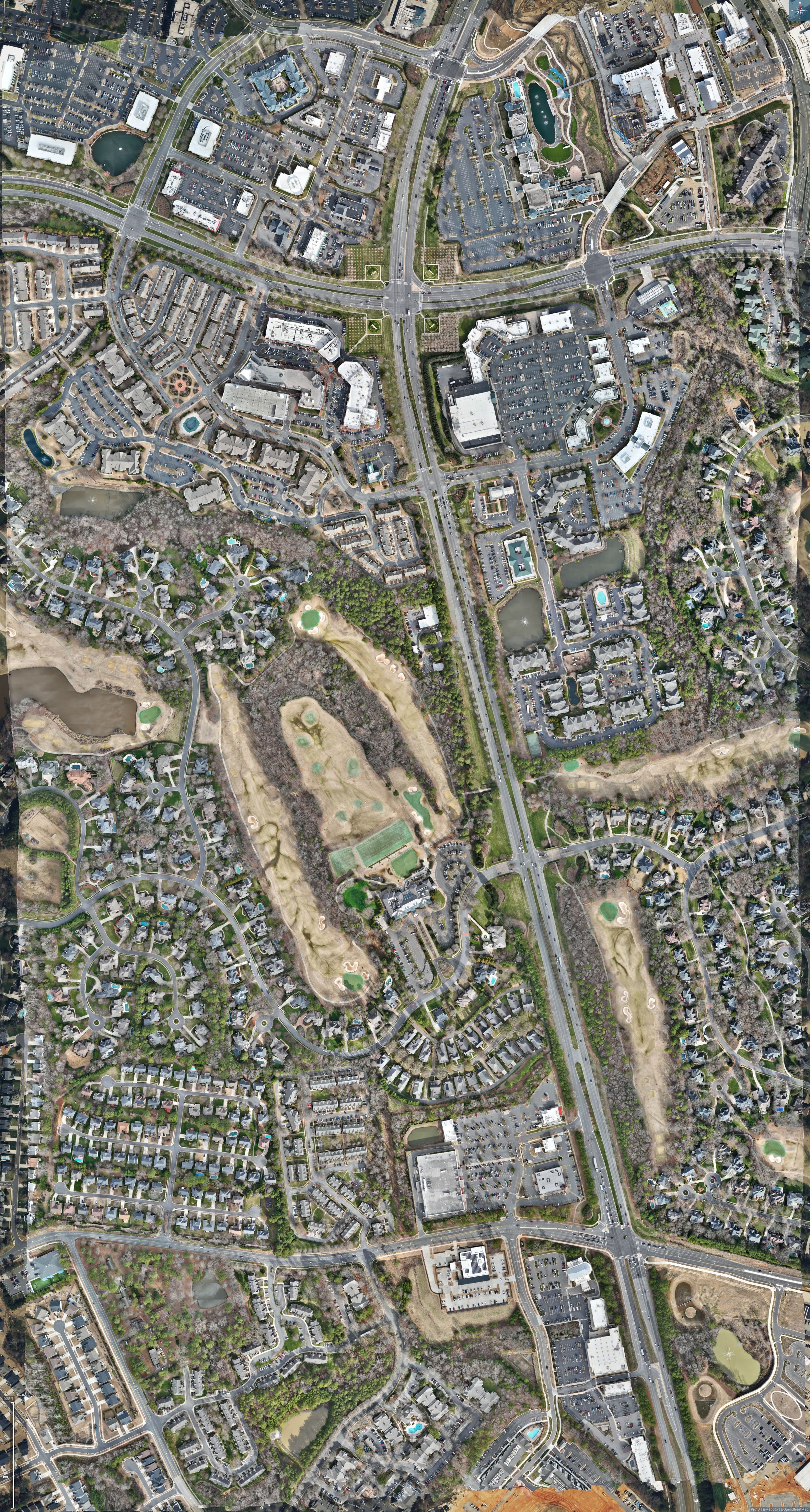
Drone photogrammetry is the process of using unmanned aerial vehicles (UAVs) equipped with high-resolution cameras to capture overlapping images of a target area. These images are processed with specialized software to generate accurate 2D maps, 3D models, and digital elevation data. This technique is widely used in industries like construction, agriculture, and environmental monitoring due to its efficiency, cost-effectiveness, and ability to access hard-to-reach areas. By leveraging GPS data and advanced algorithms, drone photogrammetry ensures precise measurements, enabling applications like volumetric calculations, and infrastructure inspection with unparalleled detail.
Disclaimer:
I provide mapping services exclusively within the state of South Carolina. Please note that while I may conduct data collection and photogrammetry in North Carolina, no mapping services are offered in that state.